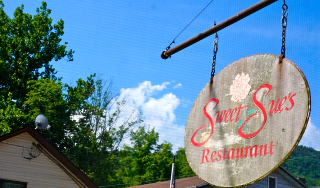
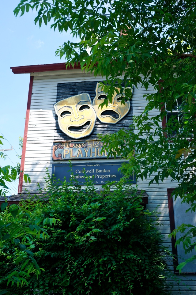
Recently, we went to Phoenicia, New York [which is about an hour away from Newburgh, NY, an hour or so outside New York City. Thereafter, we headed to Otter Falls, where friends run a relay every year. En route, we stopped for pancakes at Sweet Sue’s Restaurant, which has a 24 Zagat rating for food and a seriously slammin’ menu of pancake options. Gotta love a town that puts on a rubber duckie race.
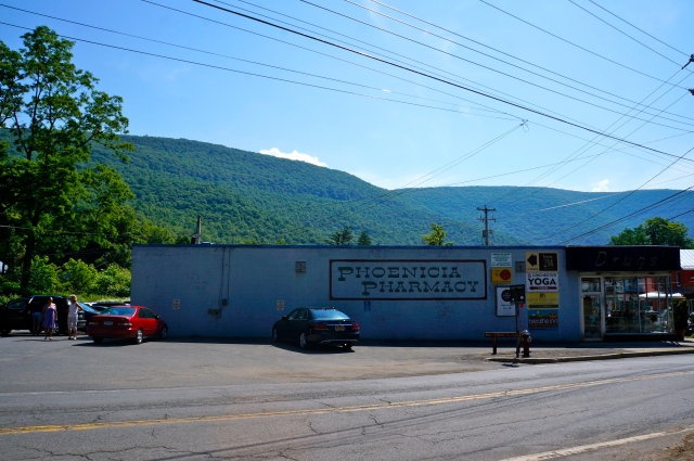
That’s a pretty spectacular backdrop for the Phoenicia Pharmacy, if I do say so myself.
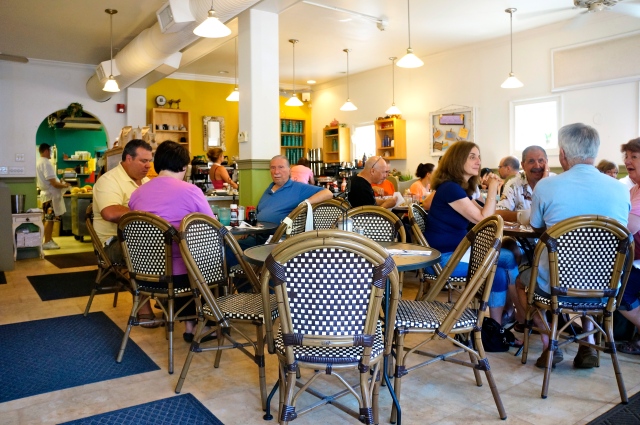
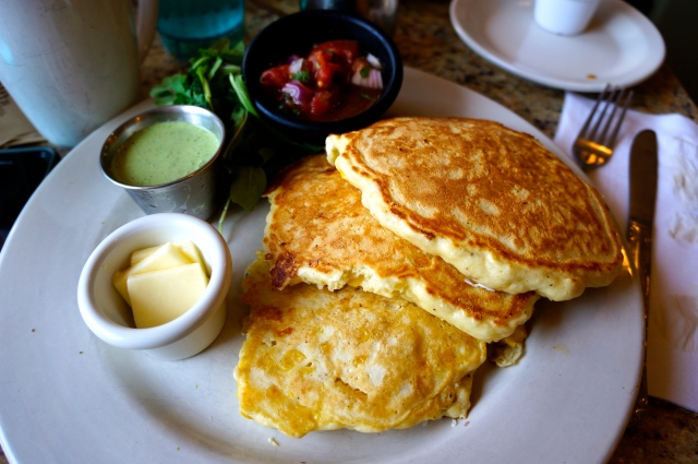
Cute little, awesome Sweet Sue’s Restaurant.
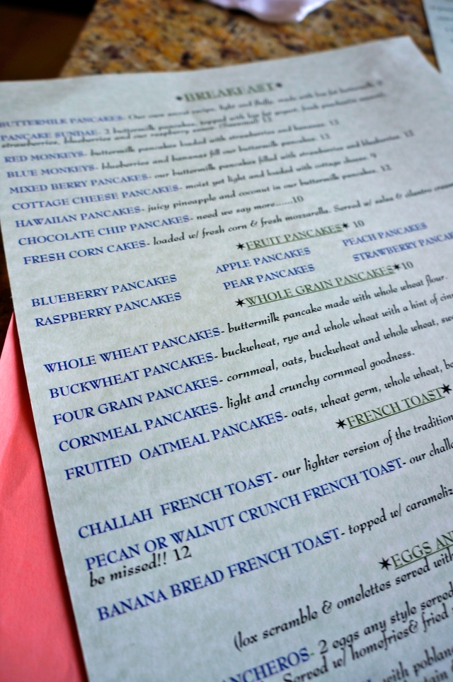
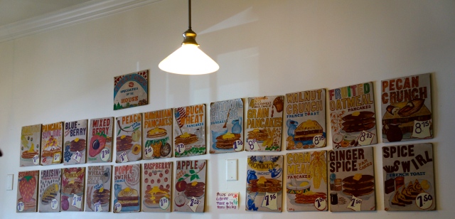
Holy pancake menu!
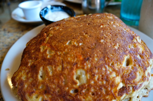
These were my — wait for it – carrot. cake. pancakes.
With cream cheese sauce. ‘Nuff said.


As of 2014, Phoenicia was home to 299 residents. I seriously love that.
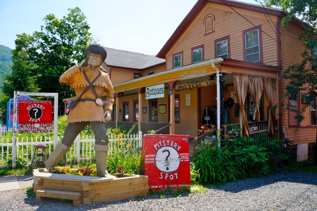
Mystery spot indeed.
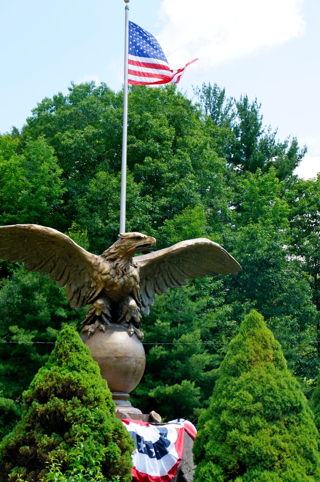
This eagle originated in Grand Central but it ended up in Phoenicia.
After loading up on pancakes, we headed to Otter Falls, which is about a 20-minute drive from Phoenicia. Here’s what the Hudson Valley Visit Vortex has to say about this swim:
Located on state land, a small, but adventurous, side trail leads to the spectacular falls cascading down about 30 feet to a large deep basin measuring about 20 to 30 feet in diameter with a center depth between 6 and 8 feet. With recent rains it should be like a giant, cold-water Jacuzzi, say the locals. Otter Falls is only about a half-mile from the popular Giant Ledge trail parking area, making it an excellent stop after a hot, sweaty hike. Sundown, lat=42.0314, lon=-74.4201
Directions: From I-87, get off at Exit 19, Kingston exit, RT 28. Go northwest on RT 28 about 25 miles to Phoenicia. Then:To get here from RT 28 in Phoenicia: Continue west on Rt 28 through Shandaken to Big Indian. Turn south (left) on RT 47 (set odometer) and go about 6.6 miles to a telephone pole with mile post #167 1/2 on it. Other things to look for are the state land signs (the yellow ones with the DEC logo). This state land is the only State land on the west side of Route 47 in Big Indian Valley. (If you come to the “hairpin turn”, an extremely sharp right hand turn, on RT 47, you have gone about .5 mile too far.)
To find it after you park, you walk along the highway and search for the tree with the 111A 167 1/2 numbers on it.
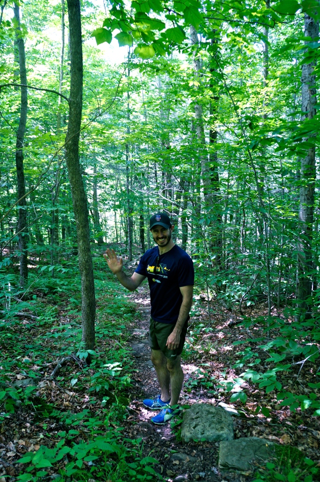
It’s only about 500 meters from the highway to the waterfall so, my kind of hike!
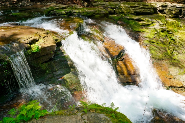
Waterfalls. Ooooohhhh — pretty!
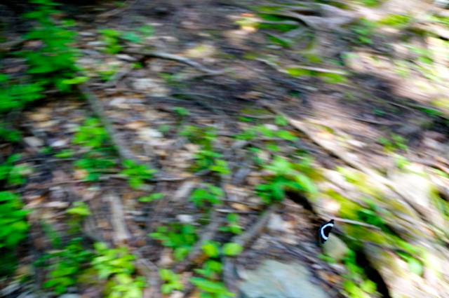
I kept this photo because that black and white blur at the bottom right of the photo is a butterfly that was buzzing all around me. I snapped this one shot quickly, not hopeful to actually capture the little booger, and this is what I got. I kinda love it.
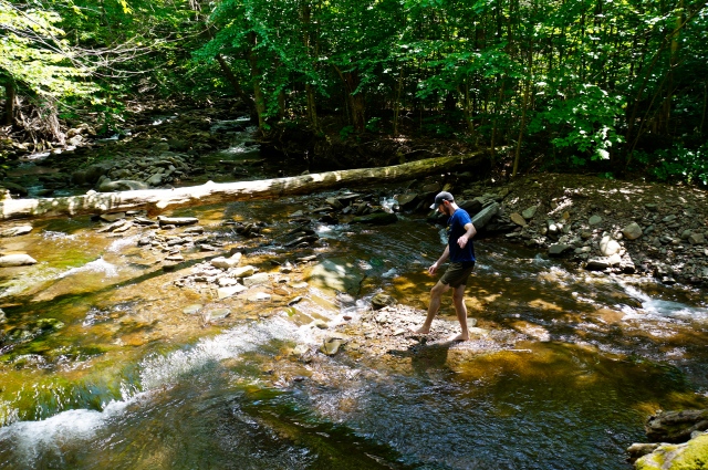
We played around in the water leading into the waterfall for a bit. 


![]()

Cheryl Lock is a former magazine, newspaper and website editor turned full-time freelance writer. She has worked on staff at the Daytona Beach News-Journal, More and Parents magazines, as well as for Learnvest, the leading women’s financial website. Her work has also appeared in Newsweek, Forbes, Ladies’ Home Journal, the Huffington Post, AOL Travel and more.
Cheryl was born in Nuremberg, Germany and grew up moving around every few years as an Army brat. The urge to travel has been with her her whole life. While she calls New York City home, Cheryl makes it a priority to travel as much as possible throughout the year. Some of her favorite places include Iceland, the Great Barrier Beef, Cabo, Rome, Calabria and Munich, although she hopes to never stop exploring. Cheryl blogs about her travel adventures (and what’s happening in and around New York City) at Weary Wanderer.